Maps of Kentucky
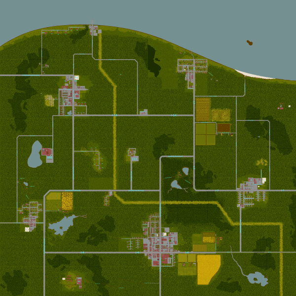
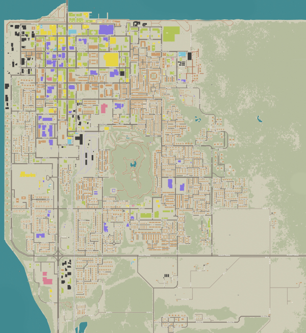
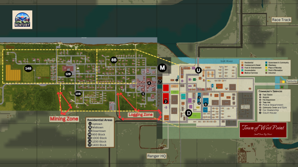
This page will contain various maps of different locations in Kentucky. Be sure to read any comments for important notes and also click on the image to view its source file where you can also view an enlarged version to see the finer details.
Map of Clear Cove

Map of Louisville

Map of West Point
